| Antique Prints | Autographs | Rare Books | Connecticut | Law |
| Maps | Miscellaneous | Newspapers & Magazines | Historical Memorabilia | Political |
| World War I Posters | World War II Posters |

|
|
|
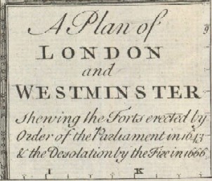
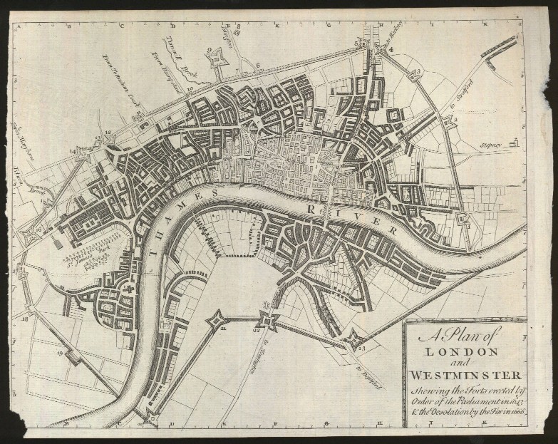
"A Plan of London and Westminster Shewing the Forts Erected by Order of the Parliament in 1643 & the Desolation by the Fire in 1666."
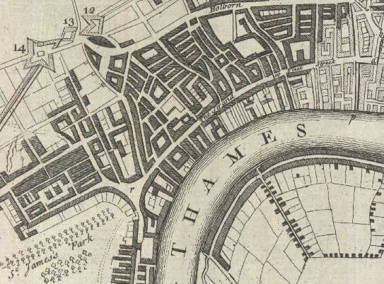
A plan of London, showing the defenses for the Civil War as well as the area destroyed by the Great Fire. The 23 defence forts, built to protect the city from attacks by Charles I and his 15,000 Royalist troops, were linked by eighteen miles of ramparts. Below is a close-up view of the Thames, St. James Park and central London with the numbering of forts 12-14.
Date: 1746 Price: SOLD
|