| Antique Prints | Autographs | Rare Books | Connecticut | Law |
| Maps | Miscellaneous | Newspapers & Magazines | Historical Memorabilia | Political |
| World War I Posters | World War II Posters |

|
|
|
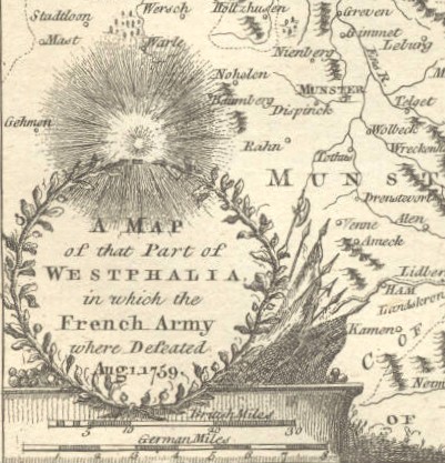
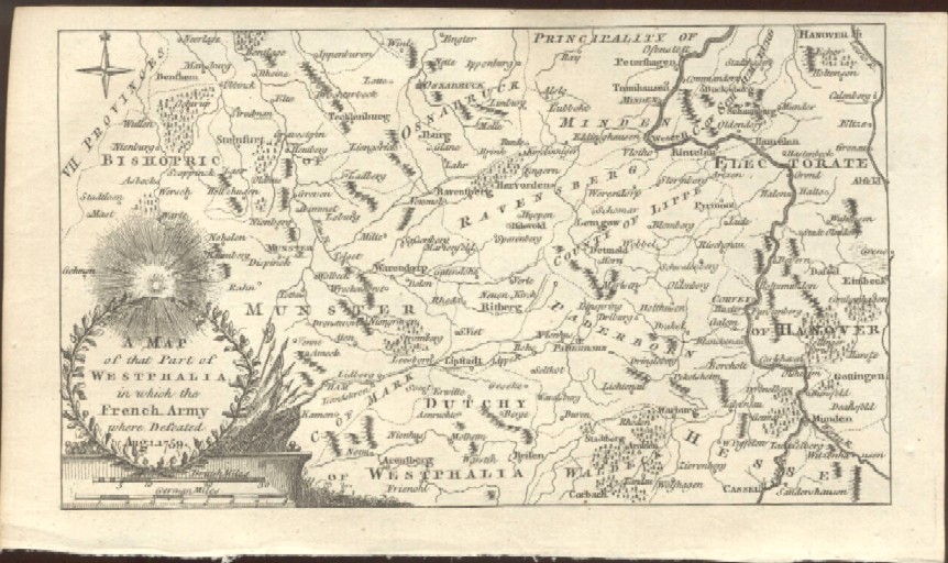
"A Map of That Part of Westphalia, in Which the French Army Where Defeated Aug. 1, 1759"
Date: 1759 Price: $25 Pay securely with credit card through PayPal by clicking the button below
|