| Antique Prints | Autographs | Rare Books | Connecticut | Law |
| Maps | Miscellaneous | Newspapers & Magazines | Historical Memorabilia | Political |
| World War I Posters | World War II Posters |

|
|
|
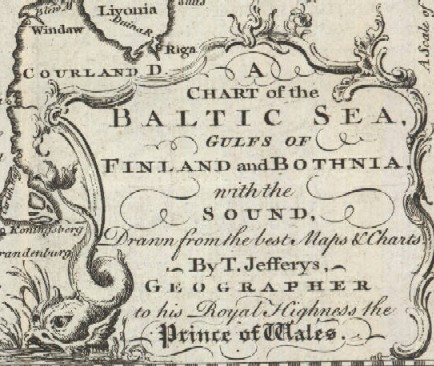
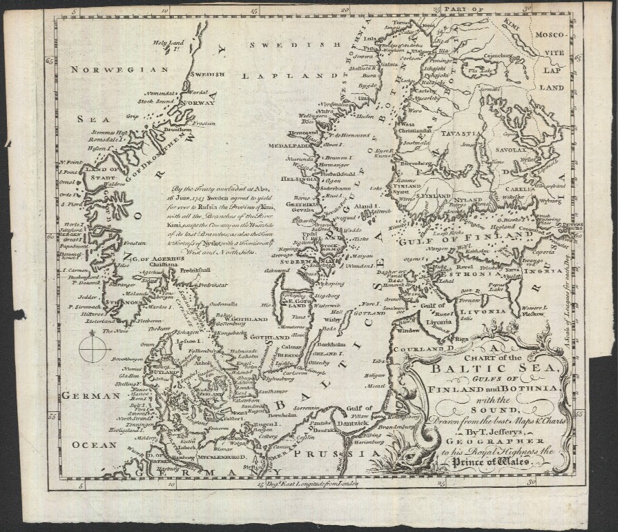
"A Chart of the Baltic Sea, Gulfs of Finland and Bothnia, with the Sound, Drawn from the Best Maps & Charts by T. Jefferys, Geographer to His Royal Highness the Prince of Wales"
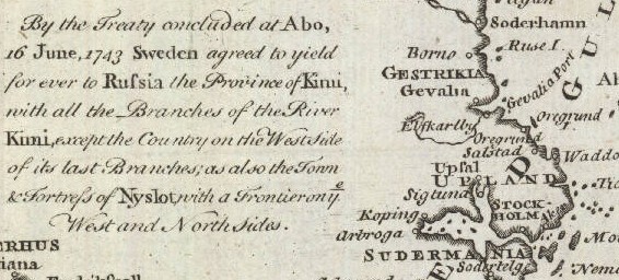
Below is a close-up of the map showing the area around Stockholm with a text explaining the ceding of Swedish territory to Russia.
Date: 1748 Price: SOLD
|