| Antique Prints | Autographs | Rare Books | Connecticut | Law |
| Maps | Miscellaneous | Newspapers & Magazines | Historical Memorabilia | Political |
| World War I Posters | World War II Posters |

|
|
|
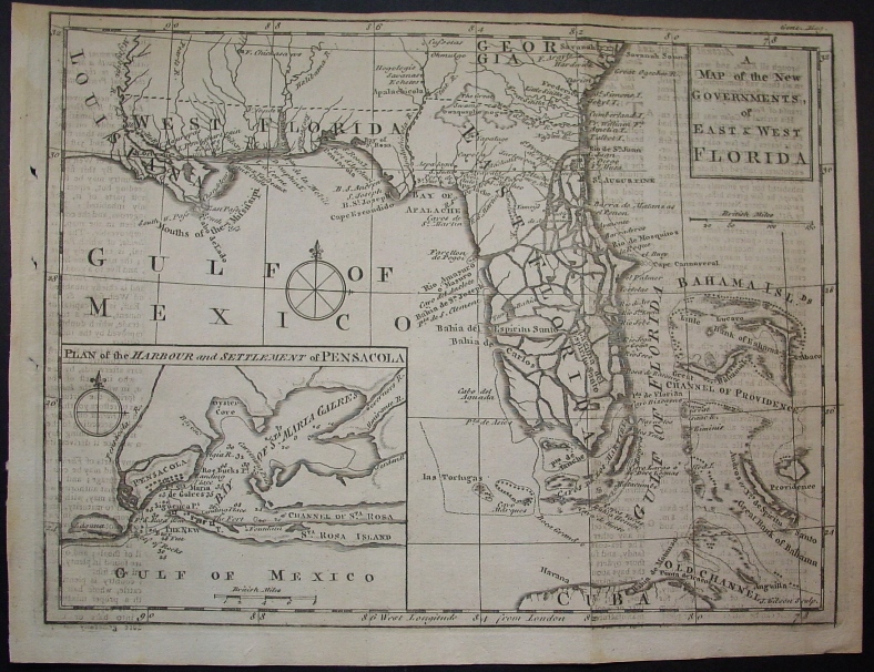
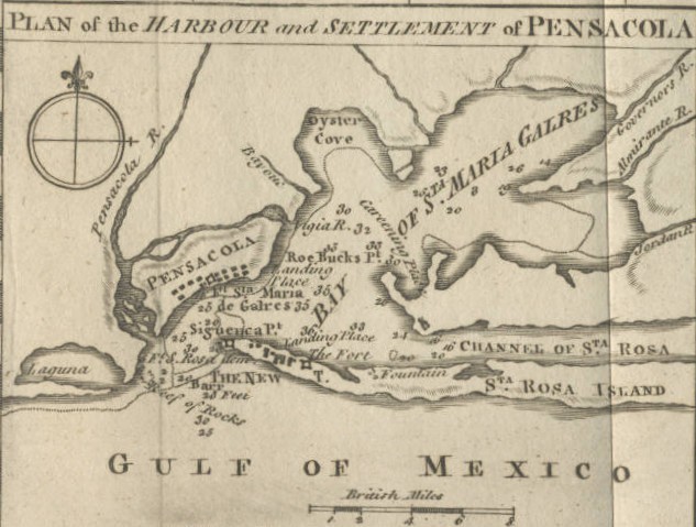
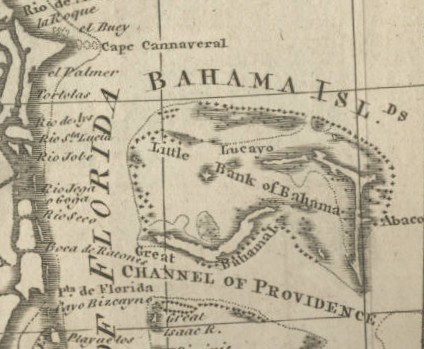
"A Map of the New Governments, of East & West Florida"
Below are close-ups of the Pensacola inset and the Bahamas showing the East coast of Florida with Cape Canaveral
Date: 1763 Price: $525
|