| Antique Prints | Autographs | Rare Books | Connecticut | Law |
| Maps | Miscellaneous | Newspapers & Magazines | Historical Memorabilia | Political |
| World War I Posters | World War II Posters |

|
|
|
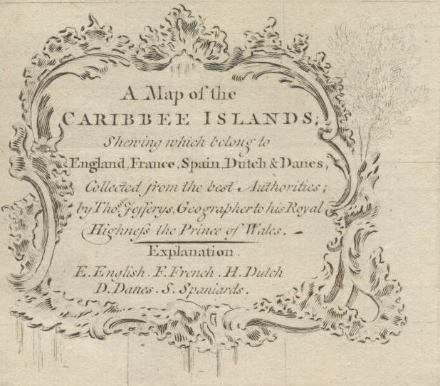
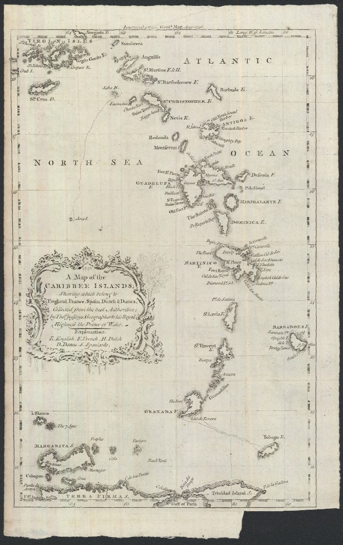
"A Map of the Caribbee Islands; Shewing which Belong to England, France, Spain, Dutch & Danes, Collected from the Best Authorities; by Thos. Jefferys, Geographer to His Royal Highness the Prince of Wales"
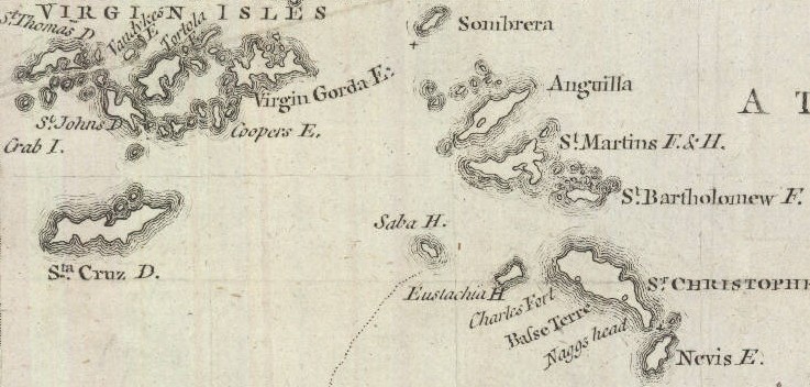
Below is a close-up of the upper right portion of the map.
Date: 1756 Price: SOLD
|