| Antique Prints | Autographs | Rare Books | Connecticut | Law |
| Maps | Miscellaneous | Newspapers & Magazines | Historical Memorabilia | Political |
| World War I Posters | World War II Posters |

|
|
|
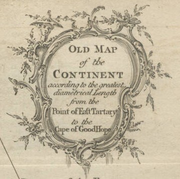
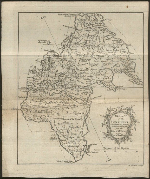
"Old Map of the Continent according to the greatest diametrical Length from the Point of East Tartary to the Cape of Good Hope"
Year: 1758 Size: 8 x 10 inches Condition: There is some soiling, small tears to edge and two small holes, one in the left margin and one in the middle of Africa. Price: SOLD
|