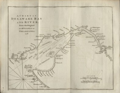
|
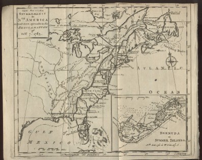
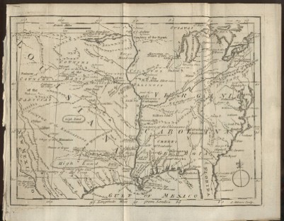
1763
Louisiana,
Virginia & Carolina
This rare early map pictures the East
Coast south of New England and Louisiana (then Spanish territory) which
included much of Western United States, including parts of New Mexico,
Colorado, Wyoming and Montana in addition to all of the current states
of Texas, Oklahoma, Missouri, Mississippi, Alabama, Tennessee, Illinois,
Indiana, Iowa, Wisconsin, Minnesota, Ohio, Kansas, Nebraska and North
and South Dakota. |
 |
|
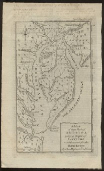
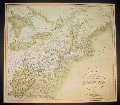
1811-12
John Cary Map
of Northeast America and Canada
"A New Map of Part of the United States
of North America, Containing those of New York, Vermont, New Hampshire,
Massachusetts, Connecticut, Rhode Island, Pennsylvania, New Jersey,
Delaware, Maryland and Virginia" |
 |